Introduction to Next-Generation Agricultural Drones
Singapore-based DroneDash Technologies and GEODNET have joined forces to establish GEODASH Aerosystems, a company focused on developing intelligent agricultural spraying drones tailored for large industrial farms. This new drone technology aims to eliminate traditional requirements such as field mapping before every flight and frequent flight plan adjustments due to changing ground conditions.
Innovations in Autonomous Crop Spraying
The upcoming drones will incorporate advanced AI vision systems and precise positioning technology to perceive their environment in real-time, enabling autonomous adaptation during flight. Unlike conventional agricultural drones, which are repurposed from general models and necessitate human operators to manually survey and generate flight plans for each spraying session, GEODASH drones will operate efficiently in dynamic farm environments.
Key Features and Capabilities
- Real-time environmental perception: The drones can interpret crop rows, trees, terrain variations, and designated operational zones.
- Adaptive flight behavior: Adjusting altitude and spray rates based on live visual data to optimize spraying effectiveness.
- High positional accuracy: Combining DroneDash’s AI vision with GEODNET’s positioning correction to achieve centimeter-level precision.
- Operation within geo-fenced boundaries: Functioning autonomously without pre-existing maps, while logging flight decisions for operator review.
Addressing the Challenges of Large-Scale Farming
Large estates, particularly palm oil plantations in Southeast Asia and row-crop farms in the US and South America, face significant challenges in efficiently managing crop spraying due to the scale and variability of terrain and plant growth. Traditional drones require time-intensive preparation for each mission, limiting the area that can be covered.
GEODASH Aerosystems targets these challenges by providing a drone platform that can quickly redeploy after environmental changes such as replanting, pruning, or soil erosion, which typically render static maps obsolete.
Dual Role: Spraying and Data Collection
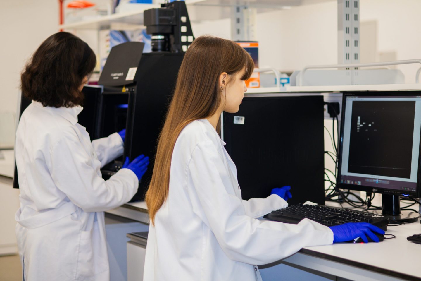
Beyond spraying, the drones will serve as aerial sensor platforms, feeding data to DroneDash’s AI Smart Farming backend. This data includes canopy density analysis, stress and anomaly detection, plant health scoring, spray-effectiveness evaluation, and terrain profiling. Such information can inform farm management decisions, including dosage adjustments, treatment scheduling, fertilization, pest control, and replanting strategies.
Commercial Deployment and Industry Impact
Following pilot projects throughout 2025 and early 2026, GEODASH Aerosystems plans to launch commercial drone operations by the third quarter of 2026. The CEO, Paul Yam, emphasized the need for smarter—not just bigger—drones to meet the demands of modern agriculture.
This development exemplifies how artificial intelligence is reshaping everyday life and work, particularly in industries like agriculture where autonomous systems must navigate and adapt to complex, changing environments.
Conclusion
The introduction of AI-powered, adaptive agricultural drones represents a significant leap forward in productivity and operational efficiency for large farms worldwide. By reducing manual preparation and enabling real-time decision-making, these drones promise to transform crop management while generating valuable data insights for sustainable farming practices.
Fonte: ver artigo original
Related Articles
 SAP and Google Cloud Pioneer Agentic Commerce Architecture to Revolutionize Retail AI
 Jeff Bezos’ Prometheus Raises $12 Billion at $41 Billion Valuation Amid AI Race
 Meta Wins Antitrust Case as Court Rules It Is Not a Monopoly
 Elon Musk and Mark Zuckerberg Influence Trump to Cancel AI Executive Order Amid US-China Competition Concerns